The early missions in Three Hammers are crowded with terrain on purpose. Forest and rock fill about two thirds of each map, the fights happen in the gaps, and a wood you can cut through is a real decision. That suits a mountain pass. It does not suit the place the Dark Iron route begins: a half-abandoned foundry on the edge of the Badlands, with a casting hall in an open bowl, a workers' yard under the rim, and a rival claimant's camp on the far side.
So we set a different rule for this kind of mission. Maps that are yards or open ground get a lighter share of impassable terrain, and every layout is checked at minimap size before it counts as finished.
Where it started
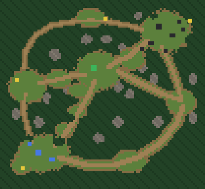
The first sketch of the map followed the old habit. Its roads were good: three ways out of the player's camp, a narrow footpath to the workers' yard, a wide stair up to the casting hall, a long loop round the south. But almost everything between those roads was forest, so the yard read as a clearing in a wood rather than a works.
The first try, and why it went back
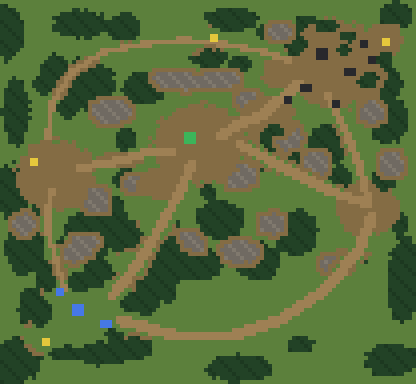
The first redraw hit the target number and still looked wrong. The rock had become a field of similar round outcrops spread evenly over open grass, like polka dots. None of them shaped anything. The forest clumps were all about the same size, and with open ground on every side, an army could ignore the roads entirely.
A percentage is easy to hit and says nothing about whether a map plays well. It went back with two notes: rock should be ridges and outcrop chains that make the chokepoints, and woods should vary in size so that each road stays the natural way between the places it joins.
The layout we kept
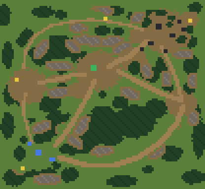
The second redraw keeps the same places, the same mines and the same road network, and moves the mass to where it matters. Rock ridges now line the cart road's valley, the back of the casting-hall bowl, the gantry's footing and the camp rims, and every one of them sits inside a band of bare dirt. Three larger woods sit between the roads, with smaller stands and single copses filling the rest, and plenty of trees stay within reach of both bases so workers have something to cut.
A checker measured every road against the shortest open path between its ends. On every route the road and the open path agree to within about ten percent at node-to-node scale, so the roads are where the walking happens. The two chokepoints the mission leans on, a six-wide cart neck and a four-wide gantry, measure at their designed widths.
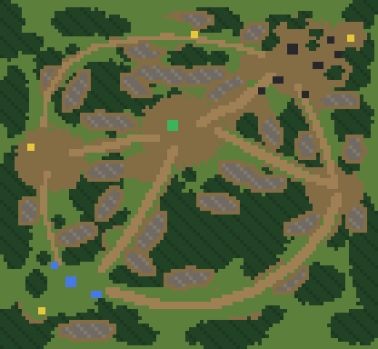
We also drew a heavier 42% version as a fallback. On every route, the two versions' walking times differed by at most three seconds, so the choice came down to how the map should feel. We picked the lighter one.
In the game
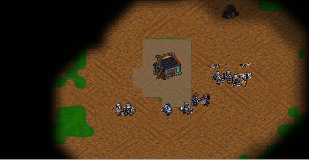
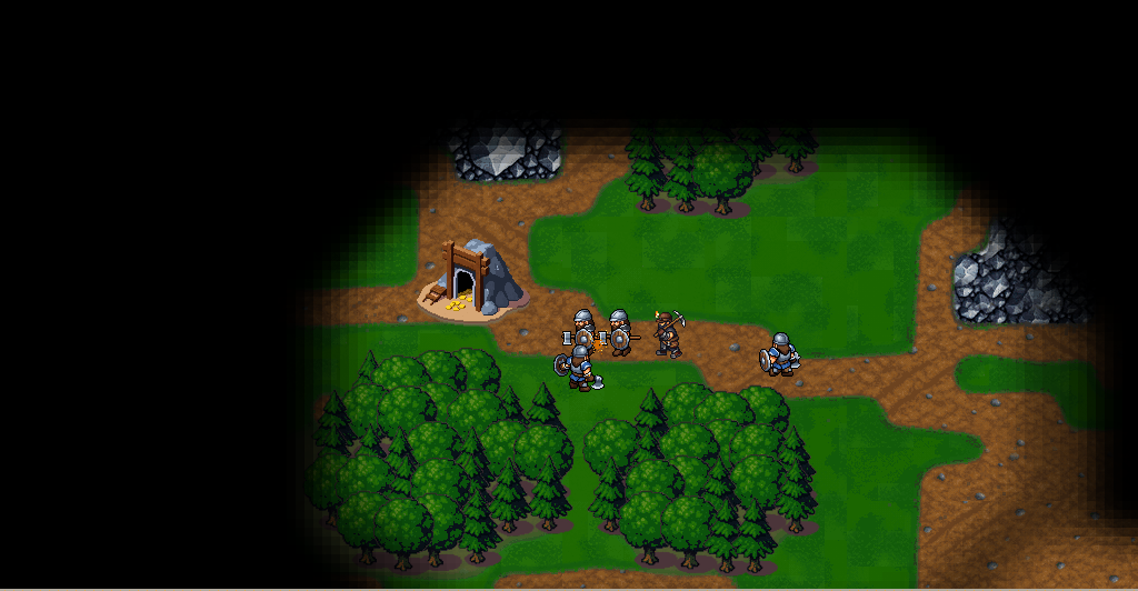
The graybox of the mission is now built from the lighter layout, so here is the same ground in the engine. These are scripted captures from a test run: stand-in art, nobody has played it yet, and the fog is lifted for the four views of places so you can see the whole site.
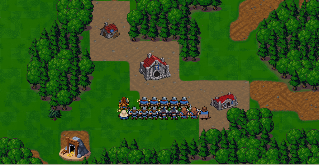
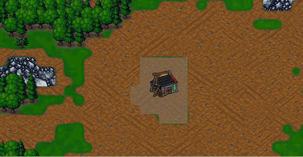
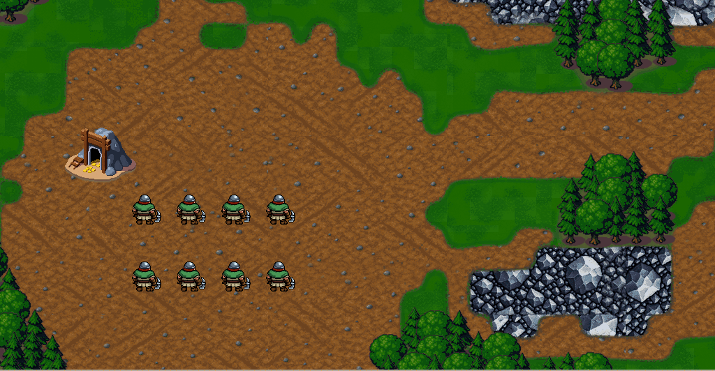
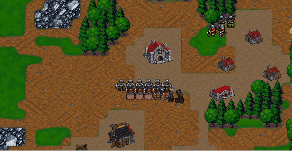
The next two are mid-mission, with no fog lifted: only what the player's units can see.
What is still a sketch
The minimaps above are design sketches at one pixel per map tile. The in-game captures come from a scripted test run of the graybox: stand-in art, with some units placed by the test script, cropped to the map view. Nobody has played the mission yet. Every walking time and percentage here is a design estimate or a scripted measurement, and every balance number in the mission is still a hypothesis. How long the mission actually takes will be measured the only way we accept, by a person playing it.